Kern County CA Property Appraiser, Search Your Record Lookup
In Kern County California 421,518 parcels, You Can Search Property Record With Parcel number, owner name, or address. If You Want to search With Parcel ID, enter the with spaces (example: 17 31 18 35514 000 0260). Get property, tax and owner details.
California State Property Appraiser Search, Access Your Record
California State has more than 12.1 Million parcels, You Can Search Property Record With Parcel number / AIN, ZIP Code, or with address. Example: 2004013020
California Property Search
| Zip Code | Parcel Number (APN) | Assessor ID | Roll Year | Tax Rate Area Code | Property Location | Property Use Type | Year Built | Square Footage | Number Of Bedrooms | Number Of Bathrooms | Number Of Units | Land Value | Improvement Value | Total Value | Total Exemption | Taxable Value | Parcel Legal Description | Street | City | AIN |
|---|
Property Tax Calculator
Transfer Fee Calculator
Property Tax Rates
Find Your County Map

County Property News
In Kern County, California, the Assessor Recorder, Anna Allen, oversees the valuation of 421,518 parcels, 315,000 buildings, and 298,000 verified addresses for the 2025/2026 assessment roll. While property values follow Proposition 13 at 1%, the Treasurer Tax Collector manages collections. The county also maintains 32,000 multi-unit parcels and standardized zoning for all 421,518 parcels.
Kern County CA ZIP Codes
Find homes in popular Kern County CA zip codes or search by region, city or neighborhood.
Kern County, California Property Overview 2026
In Kern County, homes for sale include 248,002 residential and 15,682 commercial properties, with single family homes averaging 42 years and 1,704 sq. ft. Residential sales in 2026 reached 1,385, past year sales 9,606, and high-value homes 44.38%. Effective property tax is 0.95%, with 248 foreclosures year to date, highlighting market trends.
Residential Properties
248,002
Commercial Properties
Avg. Home Age Single Family
Avg. Square Feet Single Family
Residential Sales 2026
Homes Seriously Underwater
Residential Sales past year
Rich Homes percentage
Effective 2026 Property Tax
Total Foreclosure Filings
248 Year to date
Top Cities in Kern County
Kern County’s leading cities include Bakersfield, Delano, Ridgecrest, California City, Arvin, and Tehachapi, each with unique growth potential. Bakersfield, the county seat and California’s ninth-largest city, thrives on agriculture and country music heritage, with expanding urban development. Delano continues as a key agricultural hub, while Ridgecrest grows in technology and defense due to China Lake. California City is attracting residential expansion, Arvin benefits from industrial and energy projects, and Tehachapi is emerging as a renewable energy and logistics center, shaping the county’s economic future.
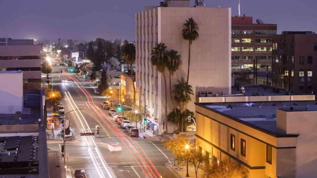
Bakersfield City
165,488 Parcels
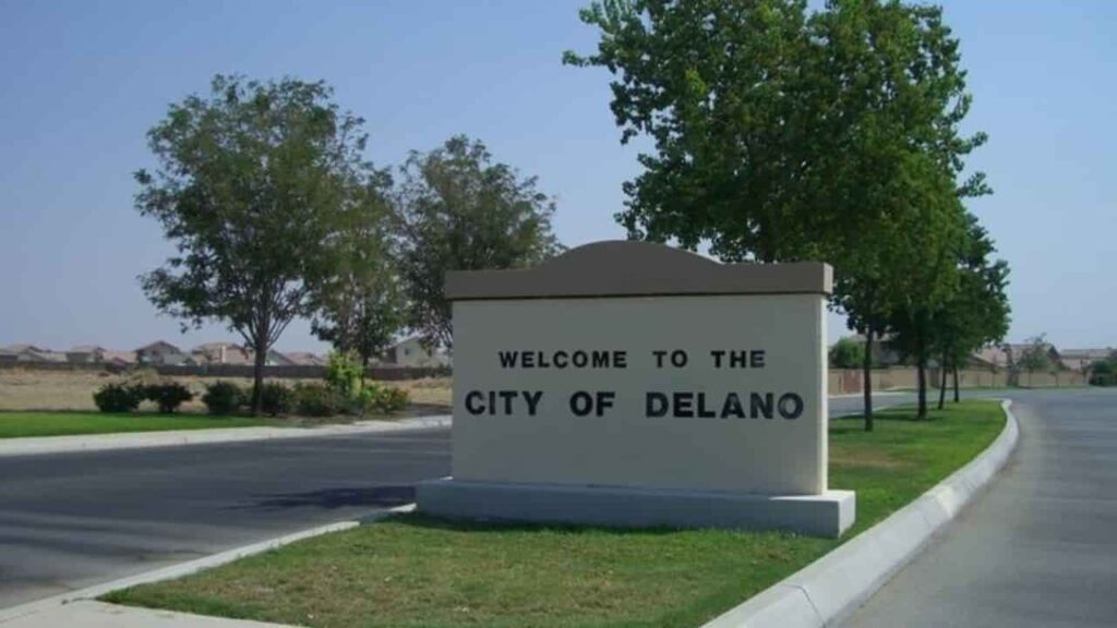
Delano City
10,216 parcels

13,509 Parcels
Kern County CA Property Search Tool Has 4 Best Method
Our Kern County Property Search Tool provides fast, free access to comprehensive property records. Easily search by owner name, parcel number (APN), property address, or city to view detailed ownership information, tax data, sales history, and up-to-date property insights. Perfect for buyers, sellers, and investors exploring Kern County real estate.
Search By Owner Name
You Can Use Owner name For Property Search In Kern County California.
Search By Address
You Can Also search Property Info with address in Kern County California.
Search By Parcel PIN
Use Parcel Number For Exact Search In Kern County California.
Search By City Name
If You Dont't have any other Option, search With City Name, Use in Address
Kern County CA property Search Tool Provide Information
Looking for property details in Kern County? Our Property Search Tool makes it simple and free. Instantly check a property’s Zip Code, AIN, Assessor ID, APN (Assessor’s Parcel Number) taxes, location, type, size, bedrooms, bathrooms, units, land and building values, exemptions, and legal information, all in just a few clicks.
Zip Code
The Zip Code identifies the postal area for the property in Kern County, helping with demographic analysis, market research, and precise geographic mapping for property searches.
APN
In Kern County, APN (Assessor’s Parcel Number) is a unique property identifier used to track parcels for taxes, assessments, ownership records, and accurate property search.
Assessor ID
The Assessor ID links properties to official Kern County records, enabling accurate property tracking, tax assessments, and ownership verification.
Roll Year
The Roll Year reflects the fiscal year of a property’s assessment in Kern County, helping track valuation trends and calculate current tax obligations.
Tax Rate Area Code
This code identifies the local taxing jurisdiction, determining property tax rates based on city, school district, and special districts.
Property Location
Property Location provides the exact address or geographic placement of a property, ensuring accurate identification for buyers, researchers, and county records.
Property Use Type
This indicates how the property is classified residential, commercial, or industrial which impacts taxation and zoning regulations.
Year Built
The Year Built records when the primary structure was constructed, influencing valuation, insurance, and market assessment.
Square Footage
Square Footage measures the total living area, aiding in property valuation, renovation planning, and market comparisons.
Number of Bedrooms
Indicates sleeping spaces in a residential property, assisting buyers, appraisers, and tax assessors with valuation and market analysis.
Number of Bathrooms
Provides essential details for property usability, valuation, and comparative market assessment.
Number of Units
Specifies the number of separate residential or commercial spaces, impacting rental income, taxation, and investment potential.
Land Value
Represents the Kern County–assessed worth of the land alone, excluding structures, used for tax calculations and investment evaluation.
Improvement Value
Measures the value of buildings or structures on the land, determining total assessed value and market price.
Total Value
Combines land and improvement values to calculate the property’s full assessed worth for taxes and investment purposes.
Total Exemption
Indicates deductions applied to a property’s taxable value, such as homeowner or senior exemptions, reducing overall tax obligations in Kern County.
Taxable Value
The portion of a property’s assessed value subject to county taxation after exemptions are applied.
Parcel Legal Description
Provides official boundary details, including lot, block, or subdivision information, essential for legal, survey, and ownership purposes.
Street
Identifies the property’s exact street location, supporting navigation, mail delivery, and precise property searches.
City
Specifies the municipality where the property is located, affecting local taxes, zoning regulations, and community guidelines.
Kern County Property Tax & Demographic Data (2026)
Kern County city level property and tax data for 2026, including estimated parcels, population, land area, base tax rate, and median tax bills. Unlike millage rate counties, Kern uses a percentage-based system (1% base per Proposition 13, plus local assessments), offering a clear overview of property taxation across cities and communities.
| City / Community | Total Parcels (Est.) | Total Population | Area (sq mi) | Base Tax Rate | Median Tax Bill (Est.) |
|---|---|---|---|---|---|
| Bakersfield | 157,000 | 416,119 | 151.1 | 1.00% | $3,620 |
| Delano | 14,500 | 50,224 | 14.3 | 1.00% | $2,450 |
| Ridgecrest | 13,800 | 28,140 | 21.4 | 1.00% | $2,800 |
| Wasco | 7,200 | 27,247 | 9.4 | 1.00% | $2,100 |
| Shafter | 6,800 | 20,544 | 28.0 | 1.00% | $2,650 |
| Arvin | 5,200 | 19,674 | 4.8 | 1.00% | $2,200 |
| Tehachapi | 4,500 | 13,011 | 10.0 | 1.00% | $3,900 |
| California City | 35,000+ | 15,100 | 203.6 | 1.00% | $1,850 |
| McFarland | 3,800 | 14,354 | 2.7 | 1.00% | $2,050 |
| Taft | 3,500 | 8,247 | 15.1 | 1.00% | $1,900 |
| Rosamond* | 9,500 | 20,850 | 52.1 | 1.00% | $3,150 |
| Lamont* | 4,100 | 15,300 | 4.6 | 1.00% | $1,800 |
| Frazier Park* | 2,800 | 2,700 | 5.1 | 1.00% | $2,400 |
| Lake Isabella* | 4,200 | 3,550 | 2.2 | 1.00% | $1,750 |
| Pine Mtn Club* | 3,100 | 2,300 | 16.7 | 1.00% | $3,200 |
| Wofford Hts* | 2,400 | 2,100 | 3.7 | 1.00% | $1,650 |
| Mojave* | 3,800 | 3,850 | 58.4 | 1.00% | $1,400 |
| Edwards* | 1,200 | 2,100 | 20.0 | 1.00% | N/A (Gov) |
| Bodfish* | 1,800 | 1,900 | 8.2 | 1.00% | $1,550 |
| Buttonwillow* | 650 | 1,500 | 6.9 | 1.00% | $1,100 |
| Weldon* | 1,100 | 1,400 | 26.3 | 1.00% | $1,300 |
| Lost Hills* | 450 | 1,200 | 5.6 | 1.00% | $950 |
| Lebec* | 600 | 1,100 | 15.3 | 1.00% | $2,100 |
| Onyx* | 400 | 450 | 11.5 | 1.00% | $1,250 |
| Keene* | 250 | 430 | 9.7 | 1.00% | $1,800 |
| Caliente* | 300 | 350 | N/A | 1.00% | $1,700 |
| Tupman* | 150 | 160 | 0.6 | 1.00% | $850 |
| Mc Kittrick* | 120 | 115 | 2.5 | 1.00% | $900 |
| Randsburg* | 280 | 70 | 2.2 | 1.00% | $750 |
| Cantil* | 110 | <50 | N/A | 1.00% | $650 |
| Edison* | 80 | <50 | N/A | 1.00% | $1,100 |
| Glennville* | 140 | <50 | N/A | 1.00% | $1,450 |
| Woody* | 60 | <20 | N/A | 1.00% | $1,200 |
*Data for unincorporated communities is estimated based on Census Tracts and Kern County GIS parcel records. All values are 2025/2026 estimates. Kern County uses a percentage-based property tax system under Proposition 13 (1% base, plus local assessments), not millage rates.
FAQs
What information can I find using the Kern County Property Search Tool?
You can access property details like Zip Code, APN, Assessor ID, Roll Year, tax info, property location, use type, square footage, bedrooms, bathrooms, units, land and improvement values, exemptions, and legal parcel information.
Is the Kern County Property Search Tool free to use?
Yes, the tool provides free access to comprehensive property records for all Kern County properties.
How do I search for a property?
Search by owner name, parcel number (APN), address, or city to quickly find the property and its detailed records.
Can this tool help with buying or investing in property?
Absolutely. It provides detailed insights on property values, exemptions, and legal information, helping buyers, investors, and researchers make informed decisions.
How often is the property data updated?
The records reflect the latest Kern County GIS and Assessor data, including 2025/2026 estimates for tax rates, parcels, and property values.