
Tulare County CA Property Appraiser, Search Your Record Lookup
In Tulare County California 164,147 parcels, You Can Search Property Record With Parcel number, owner name, or address. If You Want to search With Parcel ID, enter the (example: 17 31 18 35514 000 0260). Get property, tax and owner details.
California State Property Appraiser Search, Access Your Record
California State has more than 12.1 Million parcels, You Can Search Property Record With Parcel number / AIN, ZIP Code, or with address. Example: 2004013020
California Property Search
| Zip Code | Parcel Number (APN) | Assessor ID | Roll Year | Tax Rate Area Code | Property Location | Property Use Type | Year Built | Square Footage | Number Of Bedrooms | Number Of Bathrooms | Number Of Units | Land Value | Improvement Value | Total Value | Total Exemption | Taxable Value | Parcel Legal Description | Street | City | AIN |
|---|
Property Tax Calculator

Transfer Fee Calculator
Property Tax Rates

Find Your County Map

County Property News
In Tulare County, the county maintains a large GIS based property and zoning database supporting residential, commercial, and agricultural land management. Current estimates show approximately 164,147+ total parcels across the county. The GIS system includes nearly 233,476 matched building records and around 193,061 primary and secondary matched property addresses for parcel identification and mapping. Standardized zoning coverage applies to about 163,689 parcels, helping support land use planning and development analysis. Agricultural parcels remain one of the county’s strongest sectors, creating major opportunities for farming, logistics, housing expansion, and future real estate investment throughout Central California.
Tulare County CA ZIP Codes
Browse all ZIP codes in Tulare County California with cities and regions.
Tulare County, California Property Overview 2026
Tulare County’s real estate market offers high velocity opportunities for data driven investors. Analyzing current datasets from the local County Assessor’s Office reveals a robust inventory of 118,000 residential properties alongside 8,500 commercial properties. The structural landscape is defined by maturity and stability; the average single family home age sits at 39 years with a spacious average of 1,820 sq. ft. Demand remains aggressive, tracking 3,950+ year to date residential sales following last year’s strong 7,800+ transactions.
Residential Properties
118,000
Commercial Properties
Avg. Home Age Single Family
Avg. Square Feet Single Family
Residential Sales 2026
Homes Seriously Underwater
Residential Sales past year
Rich Homes percentage
Effective 2026 Property Tax
Total Foreclosure Filings
185 Year to date
Top Cities in Tulare County
In Tulare County, the most prominent cities include Visalia, Tulare, and Porterville, along with growing communities like Exeter, Dinuba, Woodlake, and Farmersville. Visalia acts as the commercial and cultural hub, Tulare is driven by strong agricultural industry and global events like World Ag Expo, while Porterville connects to Sierra Nevada tourism and residential growth. These cities collectively represent strong real estate demand, infrastructure expansion, and future investment opportunities, making Tulare County a key emerging market in California’s Central Valley.

Visalia City
55,000 Parcels
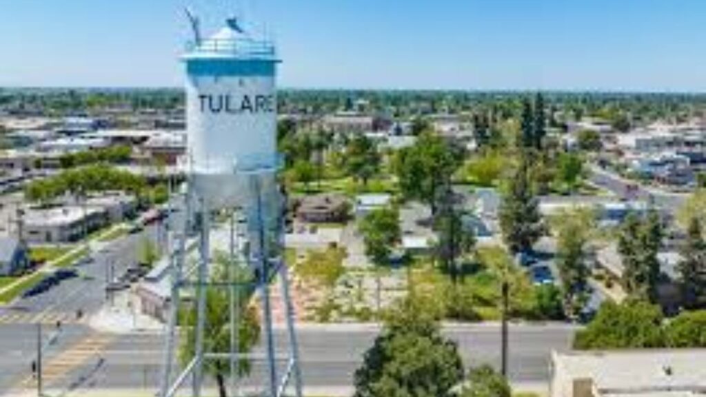
Tulare City
26,000 parcels

23,400 Parcels
Tulare County CA Property Search Tool Has 4 Best Method
Our Tulare County Property Search Tool allows you to quickly and easily access property records online for free. Search by owner name, parcel number (APN), property address, or city to instantly view ownership details, tax information, sales history, and comprehensive property data in just a few clicks.
Search By Owner Name
You Can Use Owner name For Property Search In Tulare County California.
Search By Address
You Can Also search Property Info with address in Tulare County California.
Search By Parcel PIN
Use Parcel Number For Exact Search In Tulare County California.
Search By City Name
If You Dont't have any other Option, search With City Name, Use in Address
Tulare County CA property Search Tool Provide Information
The Tulare County Property Search Tool provides instant access to complete property information. Easily search by owner name, APN (Assessor’s Parcel Number), or property address to explore ownership details, tax records, assessed values, sales history, and official county data everything you need for reliable, informed real estate decisions.
Zip Code
The Zip Code identifies the specific postal delivery zone for the property. It serves as a vital data field for real estate demographic analysis, localized valuation modeling, and precise boundary mapping within Tulare County, CA property search databases.
APN
The APN is a unique identifier assigned by the County Assessor’s Office to track individual land parcels for accurate tax billing, structural assessments, and official public record mapping.
Assessor ID
The Assessor ID links unique parcels directly to the County Assessor’s Office database, ensuring precise property tracking, tax assessment valuations, and official ownership verification across Tulare County, CA.
Roll Year
The Roll Year indicates the specific fiscal year of the property assessment. It is used by the County Assessor’s Office to track valuation trends and calculate current property tax obligations.
Tax Rate Area Code
The Tax Rate Area Code specifies the local taxing jurisdiction. It enables the County Assessor’s Office to calculate exact property tax rates based on city, school district, and special infrastructure bonds.
Property Location
The Property Location provides the physical site address or geographic coordinates of the parcel. This ensures accurate parcel identification for real estate buyers, GIS mapping researchers, and the County Assessor’s Office records.
Property Use Type
The Property Use Type defines how the parcel is classified (residential, commercial, industrial, or agricultural). The County Assessor’s Office utilizes this structural code to apply correct property tax valuations and zoning rules.
Year Built
The Year Built records the construction date of the primary structure. The County Assessor’s Office tracks this data to calculate structural depreciation, assess property valuations, and guide predictive real estate marketing trends.
Square Footage
The Square Footage measures the total livable area of the primary structure. The County Assessor’s Office records this metric to establish accurate valuation models, calculate improvement values, and benchmark local real estate market prices.
Number of Bedrooms
The Number of Bedrooms indicates the designated sleeping spaces within a residential property. The County Assessor’s Office and appraisers utilize this metric to analyze housing inventory, determine market values, and run comparative sales analytics.
Number of Bathrooms
The Number of Bathrooms details the total plumbing fixtures within a residential property. The County Assessor’s Office tracks this data to evaluate property utility, update local valuation models, and perform accurate comparative market analysis.
Number of Units
The Number of Units specifies the total separate residential or commercial spaces on a parcel. The County Assessor’s Office tracks this data to evaluate rental income potential, apply multi family zoning, and calculate accurate tax assessments.
Land Value
The Land Value represents the raw, county-assessed worth of the land alone, excluding any structures. The County Assessor’s Office tracks this figure to establish the baseline for property tax calculations and real estate investment evaluation.
Improvement Value
The Improvement Value measures the county-assessed worth of all buildings, structures, and physical upgrades on the land. The County Assessor’s Office combines this with land value to determine total assessed property value and tax obligations.
Total Value
The Total Value combines the county-assessed land value and improvement value to determine the property’s full assessed worth. The County Assessor’s Office uses this comprehensive figure to calculate annual property tax obligations and evaluate real estate investment value.
Total Exemption
The Total Exemption indicates the total deductions (like Homeowners' or Veterans' exemptions) applied to a parcel. The County Assessor’s Office subtracts this from the total value to lower the net taxable property value.
Taxable Value
The Taxable Value represents the exact net portion of the property’s assessed value that is subject to county taxation. The County Assessor’s Office calculates this final figure by subtracting the total exemption amount from the total assessed value to determine the final tax bill.
Parcel Legal Description
The Parcel Legal Description provides the official, legally binding boundary details, including lot, block, tract, or subdivision information. The County Assessor’s Office and Recorder's Office maintain this precise data, which is essential for title transfers, land surveys, and resolving legal boundary disputes.
Street
The Street field identifies the exact physical roadway location of the parcel, including the street name, suffix, and directional indicators. The County Assessor’s Office records this information to facilitate precise property searches, enable municipal navigation, and ensure accurate mail and tax bill delivery.
City
The City field specifies the exact municipality or unincorporated community where the property is physically located. The County Assessor’s Office tracks this location data because it directly determines which local city tax rates, municipal zoning laws, and community regulations apply to the parcel.
Tulare County Property Tax & Demographic Data 2026
Tulare County city level property and tax data for 2026, including estimated parcels, population, land area, effective tax rates, and median tax bills. Following California's Proposition 13 guidelines, Tulare County utilizes a percentage based property tax system (1% base rate plus local voter approved assessments) rather than a traditional millage system. This provides a clear, uniform structure heavily influenced by its central agricultural and expanding logistics sectors.
| City / CDP | Total Parcels (Est.) | Total Population | Area (sq mi) | Effective Tax Rate | Median Tax Bill (Est.) |
|---|---|---|---|---|---|
| Visalia | 55,000 | 145,000 | 36.0 | 1.20% | $5,800 |
| Tulare | 26,000 | 69,000 | 21.9 | 1.23% | $4,600 |
| Porterville | 24,000 | 62,000 | 19.0 | 1.25% | $4,200 |
| Lindsay | 5,600 | 13,500 | 2.5 | 1.16% | $3,700 |
| Dinuba | 10,000 | 25,000 | 6.5 | 1.16% | $3,900 |
| Exeter | 5,000 | 10,800 | 2.6 | 1.14% | $4,100 |
| Farmersville | 3,700 | 10,000 | 1.6 | 1.18% | $3,800 |
| Woodlake | 4,300 | 7,500 | 2.2 | 1.12% | $3,600 |
| Terra Bella (CDP) | 2,100 | 3,500 | 1.9 | 1.11% | $3,200 |
| Three Rivers (CDP) | 1,500 | 2,600 | 20.0 | 1.08% | $4,900 |
| Visalia Rural Fringe (CDP) | 3,000 | 6,000 | — | 1.14% | $4,300 |
FAQs
How do I look up How do I look up property tax records in Tulare County?
Use our integrated property search tool above to enter your Assessors Parcel Number (APN) or street address for instant 2026 tax records, structural data, and assessed values.
What is the current property tax rate in Tulare County, CA?
Under Proposition 13, the base rate is 1%. Total effective rates average 1.05% to 1.30% depending on local voter-approved municipal bonds and special district assessments.
How does the Tulare County Assessor determine property value?
The County Assessor evaluates land and structural improvements annually. Under California law, enrolled taxable values cannot increase by more than 2% per year unless a change in ownership occurs.
Where can I find official Tulare County parcel maps and GIS data?
You can query parcel boundaries instantly using our map-integrated property lookup tool, or access official tract records directly through the Tulare County Assessor-Recorder’s office.
Can I lower my property tax assessment in Tulare County?
Yes. Qualifying primary residences can claim the $7,000 Homeowners’ Exemption. If market value drops below your assessed value, you can file a Proposition 8 decline-in-value appeal.