Calaveras County CA Property Appraiser, Search Your Record Lookup
In Calaveras County Califoria 44,500 parcels, You Can Search Property Record With Parcel number, owner name, or address. If You Want to search With Parcel ID, enter the (example: 2004013020). Get property, tax and owner details.
California State Property Appraiser Search, Access Your Record
California State has more than 12.1 Million parcels, You Can Search Property Record With Parcel number / AIN, ZIP Code, or with address. Example: 2004013020
California Property Search
| Zip Code | Parcel Number (APN) | Assessor ID | Roll Year | Tax Rate Area Code | Property Location | Property Use Type | Year Built | Square Footage | Number Of Bedrooms | Number Of Bathrooms | Number Of Units | Land Value | Improvement Value | Total Value | Total Exemption | Taxable Value | Parcel Legal Description | Street | City | AIN |
|---|
Property Tax Calculator
Transfer Fee Calculator
Property Tax Rates
Find Your County Map

County Property News
In Calaveras County, California, the County Assessor’s Office manages and updates comprehensive property and parcel data for public use. The county currently tracks approximately 44,500 parcels and 38,500 matched buildings, using GIS mapping and property records across the region. Property address records have been updated, identifying about 46,200 secondary addresses. The assessor has also standardized zoning data for all 44,500 parcels, supporting accurate property assessments, parcel records, and the annual assessment roll.
Calaveras County CA ZIP Codes & Cities
Browse all ZIP codes in Calaveras County California. Find cities, towns, and communities quickly with this easy searchable directory.
About Calaveras County CA ZIP Codes
Calaveras County includes popular communities such as Angels Camp, San Andreas, Arnold, Valley Springs, Murphys, and Copperopolis. This ZIP code list helps residents, property owners, and businesses quickly locate postal regions across the county.
Calaveras County, California Property Overview 2026
Calaveras County has 35,800 residential properties and 1,200 commercial properties. The average single family home is 42 years old with 1,729 sq. ft. In 2026, there were 138 residential sales, while 0.93% of homes are seriously underwater, and the effective property tax rate is 0.86%. Over the past year, there were 963 residential sales, with 32.9% of homes considered high value, and foreclosure filings for the past two years are recorded.
Residential Properties
35,800
Commercial Properties
Avg. Home Age Single Family
Avg. Square Feet Single Family
Residential Sales 2026
Homes Seriously Underwater
Residential Sales past year
Rich Homes percentage
Effective 2026 Property Tax
Total Foreclosure Filings
2 Year to date
Top Cities in Calaveras County
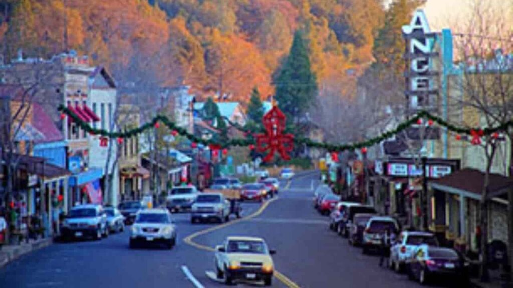
The top cities in Calaveras County, California are Rancho Calaveras, Copperopolis, and Angels Camp. Rancho Calaveras, with 7,131 residents, is the county’s largest residential town. Copperopolis is a charming historic town near Lake Tulloch, while Angels Camp, the only incorporated city, is famous for Main Street and the annual Jumping Frog Jubilee.
Rancho Calaveras City
3,620 Parcels
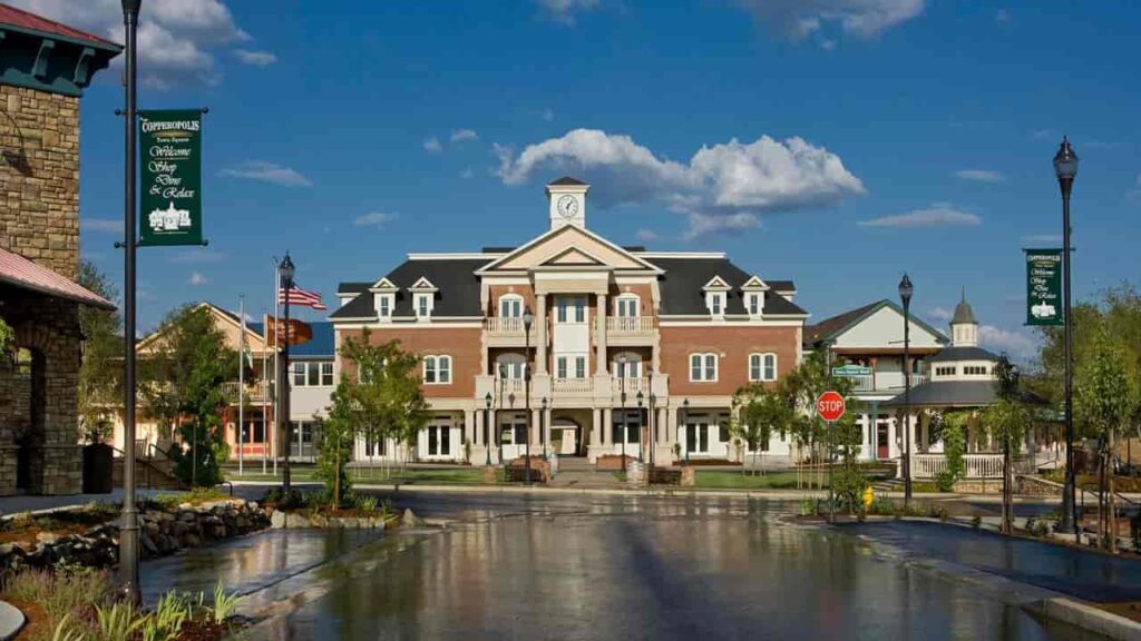
Copperopolis City
3,009 parcels
2,494 Parcels
Calaveras County CA Property Search Tool Has 4 Best Method
The Calaveras County Property Search Tool allows residents to quickly and easily access property information online at no cost. Search by owner name, parcel number (PIN), property address, or city, and instantly view ownership details, tax history, recent sales, and full property records with just a few clicks.
Search By Owner Name
You Can Use Owner name For Property Search In Calaveras County California.
Search By Address
You Can Also search Property Info with address in Calaveras County California.
Search By Parcel PIN
Use Parcel Number For Exact Search In Calaveras County California.
Search By City Name
If You Dont't have any other Option, search With City Name, Use in Address
Calaveras County CA property Search Tool Provide Information
The Calaveras County Property Search Tool provides detailed property information with every query. Search by owner name, parcel number (PIN), or property address to access complete records, including ownership details, tax data, land values, and official county assessments. Everything you need for accurate and informed real estate research.
Parcel Number
The Parcel Number (Parcel ID) is a unique identifier assigned by Calaveras County to track properties for taxation, assessment, and official records. Using the parcel number is the most precise method to locate an individual property and verify all associated details accurately.
Owner Name
The Owner Name field displays the legally registered property owner according to Calaveras County public records. This information helps confirm ownership, verify titles, and identify responsible parties for taxes or legal matters.
Property Address
The Property Address shows the physical location of the property in Calaveras County, California. Accurate addresses ensure reliable property identification, assist with mailing verification, and provide dependable results for buyers and researchers.
Tax District
The Tax District identifies the local taxing authority for a property. It determines applicable millage rates, assessments, and jurisdiction specific property taxes, helping owners and investors understand their annual tax obligations.
Property Use Code
The Property Use Code indicates how a property is classified, such as residential, commercial, or vacant land. This classification affects taxes, zoning regulations, and market value assessments for the property.
Legal Description
The Legal Description provides the officially recorded subdivision, lot, and block information. It is essential for legal documentation, verifying titles, and accurately defining property boundaries in Calaveras County.
Tax Book
The Tax Book refers to the official county record where property tax information is maintained. It helps trace historical tax records, verify past assessments, and support professional or legal research.
Tax Page
The Tax Page identifies the exact page in Calaveras County tax records where a property is listed. This allows faster referencing for legal, professional, or real estate research purposes.
Annual Property Taxes
The Annual Property Taxes section shows the total assessed property taxes owed for a year. This helps homeowners, investors, and buyers understand the financial responsibilities linked to a property.
ZIP Code
The ZIP Code identifies the postal area of the property in Calaveras County. It supports demographic research, market analysis, and precise geographic identification for property and community studies.
Owner City
The Owner City field displays the registered city of the property owner’s mailing address. This helps determine whether a property is owner-occupied or investor-owned.
Property City
The Property City shows the municipality where the property is physically located. It affects local zoning, taxes, and community regulations relevant to property management and investment.
Land Value
The Land Value represents the assessed value of the land alone, excluding structures. This figure is key for property tax calculations, investment evaluation, and determining the land’s market potential.
Taxable Value
The Taxable Value displays the portion of the property’s assessed value subject to taxation after exemptions. It directly impacts the annual property tax owed by homeowners or investors.
Stated Area (Acres)
The Stated Area indicates the total land size in acres. This helps buyers, developers, and investors assess lot dimensions, development potential, and the overall scale of the property.
Calaveras County Property Tax & Community Data
Calaveras County community level property and tax data, including estimated parcels, population, land area, millage rate equivalents, and median tax bills. In California, property taxes are based on a 1% base tax rate plus local voter-approved bonds. The “Millage Rate Equivalent” shown below represents the total property tax percentage multiplied by 10 (for example, 1.15% equals 11.5 mills).
Calaveras County has only one incorporated city Angels Camp while most residents live in unincorporated communities managed by the County Board of Supervisors.
| Community Name | Total Parcels (Est.) | Total Population | Area (Sq Mi) | Millage Rate (Equiv.) | Median Tax Bill (Est.) |
|---|---|---|---|---|---|
| 1. Angels Camp (City) | 2,150 | 3,920 | 3.6 | 11.0 – 12.1 | $3,850 |
| 2. Rancho Calaveras | 3,620 | 6,100 | 8.4 | 10.8 – 11.8 | $3,100 |
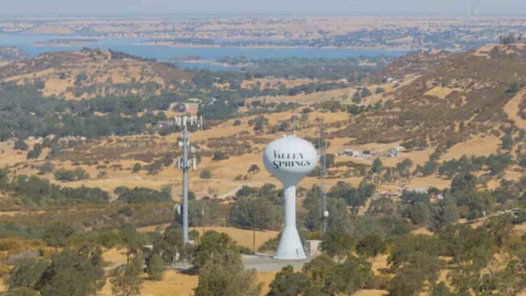
| 3. Valley Springs | 2,800 | 3,750 | 9.8 | 11.2 – 12.5 | $2,950 |
| 4. Arnold | 6,450 | 3,900 | 14.8 | 10.5 – 11.2 | $3,400 |
| 5. San Andreas | 1,450 | 2,950 | 4.3 | 11.0 – 11.5 | $2,400 |
| 6. Copperopolis | 4,800 | 4,250 | 21.5 | 11.5 – 13.5 | $5,800 |
| 7. Murphys | 1,150 | 2,150 | 1.0 | 10.5 – 11.5 | $5,100 |
| 8. Copperopolis | 4,800 | 4,250 | 21.5 | 11.5 – 13.5 | $5,800 |
| 9. Valley Springs | 2,800 | 3,750 | 9.8 | 11.2 – 12.5 | $2,950 |
| 10. Arnold | 6,450 | 3,900 | 14.8 | 10.5 – 11.2 | $3,400 |
| 11. Rancho Calaveras | 3,620 | 6,100 | 8.4 | 10.8 – 11.8 | $3,100 |
| 12. Murphys | 1,150 | 2,150 | 1.0 | 10.5 – 11.5 | $5,100 |
| 13. San Andreas | 1,450 | 2,950 | 4.3 | 11.0 – 11.5 | $2,400 |
FAQs
What is the Calaveras County Property Search Tool?
The Calaveras County Property Search Tool allows residents and investors to quickly access property records online. You can search by owner name, parcel number (PIN), or property address to view ownership details, tax history, land values, and official county assessments.
How are property taxes calculated in Calaveras County?
Property taxes are based on California’s 1% base tax rate plus local voter-approved bonds. The Millage Rate Equivalent represents the total tax percentage multiplied by 10 (e.g., 1.15% = 11.5 mills), which is used to estimate annual tax bills.
How can I find detailed property information for a specific community?
Calaveras County provides community-level property data, including total parcels, population, land area, millage rate equivalents, and median tax bills. Both incorporated and unincorporated communities are included for comprehensive real estate insights.
What information is available using a parcel number (PIN)?
A Parcel Number (Parcel ID) is the most precise way to locate a property. Using a PIN, you can access ownership details, property classification, land value, taxable value, and legal descriptions, ensuring accurate identification for taxes or real estate transactions.
How can I verify the ownership or legal description of a property?
The Owner Name and Legal Description fields in the property records display the legally registered owner and official subdivision, lot, and block information. This data is essential for title verification, legal purposes, and precise boundary identification.